


Standard subscription: Turgot plan in color in original format
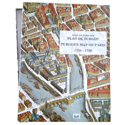
This is the first and only ORIGINAL-scale COLOR edition of this famous plan. Our plan is presented in 22 sheets, 90x60 cm format, folded in half and inserted in a 45x60 cm white cloche box. Included are the 20 original plates digitized in high definition from a period plan that has been entirely watercolored; a complementary plate containing the assembled plan and a plate containing the presentation text in French and English.
Subscription open until July 31, 2024. Printed early September. Delivery to your home before September 30, 2024.
This plan of Paris, begun in 1734, was drawn up under the orders of Michel Étienne Turgot, the capital's Provost of Merchants. Its engraving, completed in 1739, is without doubt the finest pre-Revolutionary plan of Paris, the last to be drawn “à vue d'oiseau”. Comprising 20 plates in 90x60 cm format, engraved on copper, it has always been presented in black. The only color version was published by us in 2013, but on a 1/2 scale. Now out of print, we'd like to republish it in its original monumental format.
When it comes out in September 2024, the public price of the plan will be €250 incl. VAT (plus postage), and we are offering a subscription until July 31, 2024 for €190 incl. VAT (plus postage).
-----------------------------
Plan drawn up by Louis Bretez, by order of Turgot, 1734-1739
This plan completes the series of plans à vol d'oiseau, and if, after this period, we still see a few of this kind appearing, they are older plans, copied or rejuvenated. Louis Bretez, who drew it around 1734, departed from the generally accepted practice of orienting maps according to the meridian, because, wishing to give an image of Paris in elevation, he had, following the example of the ancient geographers, to prefer a system that would allow the portals of our ancient churches, still so numerous, to be seen from the front, most of which had their facades turned towards the west.
The drawing ordered by Turgot was completed in 1734; it therefore represents the state of Paris at that time. Claude Lucas, who engraved it until 1739. It is intended to represent from life, not only the most remarkable buildings and hotels, but also all private houses with courtyards and gardens. The choice of the bird's-eye view genre must have been extremely costly. “Lucas's plan will become priceless once the master of masters (Time) has wiped out the rest of the magnificent buildings that adorned Paris before 1789.
The image of Paris it depicts still offers many attractions and documents for archaeology. The small number of old buildings that have survived are now disappearing so rapidly, or undergoing such strange metamorphoses under the hideous mask of replastering, that Turgot's Paris, prey to our thousand plans for alignments and enlargements, will soon have to be called old Paris in its turn.
On the left bank, there are many curious features, especially outside the city. - Ile des Cygnes, like Louviers Island, is covered with building sites and joined to the river by a wooden bridge. - Numerous hotels in the Faubourg Saint-Germain, most with extensive gardens. - Mont-Parnasse has been forgotten, as has the tree-lined Cours that bisected it. - The préau de la Foire Saint-Germain has been narrowed by new buildings and a Market. - The present-day Saint-Sulpice church has replaced the demolished old one; the facade is built, but not yet topped by its two clarinets, as Victor Hugo put it. - Many curious localities in the Faubourg Saint-Marceau.
Alfred Bonnardot, Études Archéologiques sur les plus anciens plans de Paris, 1851, chapter XXXVI
feedback Report comment